When a major incident hits a dense urban area, minutes decide whether a crisis becomes a catastrophe. Flooded roads, gridlocked traffic and damaged infrastructure slow ground teams to a crawl. That is where a new generation of digitally coordinated air units steps in, turning the sky into a flexible, data‑driven layer of emergency response rather than a last‑resort backup.
Across Europe and North America, rescue agencies quietly upgrade from analogue radios and paper maps to integrated platforms that merge satellite data, drone feeds and helicopter telemetry into a single operational picture. In this landscape, air support is no longer just a helicopter hovering above a scene; it becomes a coordinated mesh of crewed and uncrewed aircraft tied into real‑time analytics, weather engines and AI‑assisted routing.
The shift mirrors broader trends in critical infrastructure: everything that moves, measures or coordinates now feeds data into cloud‑based systems. Firefighters, paramedics, coast guards and police units increasingly rely on shared dashboards that show not only where assets are, but where they should be in the next 10 to 20 minutes. Airborne platforms act as the fast, flexible extension of that digital nervous system, reaching places that ground vehicles reach too late or not at all.
From noisy helicopters to silent data platforms
Traditional air operations revolved around a handful of helicopters, each with its own crew, its own radio channel and its own habits. Coordination depended on experience and improvisation, not structured information. That model still works for small‑scale incidents, but it breaks down when several events unfold at once or when weather, terrain and infrastructure change by the hour.
Modern emergency aviation flips that logic. Instead of starting with the aircraft, planners start with the data. High‑resolution weather models predict wind, icing, visibility and storm tracks at street level. Mapping tools ingest live traffic, river levels, wildfire spread and building footprints. AI models propose flight corridors that avoid no‑fly zones, turbulence and smoke plumes while still keeping response times low.
Helicopters and fixed‑wing aircraft then operate as nodes in that data network. Crews see the same digital map as command centers. Cameras, thermal sensors and radar stream back to analysts in real time. Drones scout dangerous zones ahead of manned aircraft, identify landing spots, and monitor structural damage on bridges or high‑rises without putting pilots at risk.
The rise of drone‑enabled emergency missions
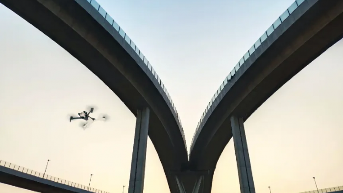
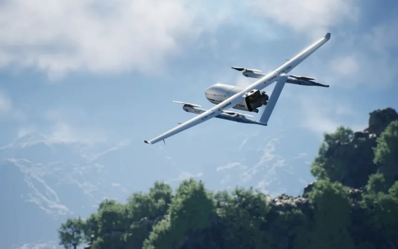
Drones used to be treated as gadgets. Today they form the backbone of many air‑enabled missions. Lightweight quadcopters launch from fire trucks, ambulances or mobile command vans within seconds. They fly predefined search patterns, measure gas concentrations, or drop flotation devices to people in distress offshore.
In coastal towns and port cities, this combination of drones and crewed aircraft proves especially powerful. During storms, when waves batter harbors and roads flood, small uncrewed aircraft reach isolated homes long before boats or trucks do. They deliver medical kits, satellite phones and power banks, while larger helicopters stand ready for evacuations once conditions allow.
Crucially, regulations catch up with technology. Authorities experiment with beyond‑visual‑line‑of‑sight corridors that let certified operators fly drones several kilometers away, as long as they remain within approved digital geofences. That framework opens the door to regional drone networks that stand ready for search and rescue, wildfire monitoring and critical infrastructure inspection.
Data, not hardware, defines effective air response
The most advanced rescue fleets do not necessarily own the most expensive helicopters. They invest in integration: connecting dispatch systems, weather feeds, aircraft avionics, drone control software and hospital intake systems into one coherent workflow.
When a call comes in, algorithms match incident type, location and weather with the nearest suitable assets. A mountain rescue might trigger a high‑lift helicopter, two drones and a ground team, all routed along paths that avoid incoming fog. A chemical spill could see drones equipped with gas sensors fly ahead, mapping safe corridors for medics and firefighters.
That same data‑centric approach also improves safety. Predictive maintenance models analyze vibration, engine performance and flight hours to flag components that need inspection before they fail. Digital debrief tools replay missions, highlight communication breakdowns and feed lessons learned back into training simulators.
Looking ahead: a layered sky for safer cities
Over the next decade, urban air mobility projects, autonomous cargo drones and smarter weather services will blur the line between everyday logistics and emergency response. The same corridor that carries medical samples between hospitals in calm conditions might carry blood, ventilators or evacuation pods during large‑scale crises.
Success will depend less on spectacular aircraft and more on invisible coordination: robust data standards, interoperable platforms and clear protocols that let different agencies share the same aerial picture without friction. Communities that invest in those foundations now stand to gain faster, safer and more sustainable emergency services, where the sky is not an afterthought but a fully integrated layer of protection.
Post Comment
Be the first to post comment!